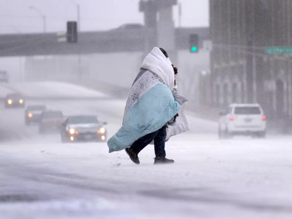
Rain, snow, and strong winds are threatening the eastern portion of the United States.
As a trough of low pressure departs the western United States on Friday, it will help to develop a surface low across the central Plains. By Saturday, the Upper Midwest will see widespread rain and maybe snowfall. Beginning Friday, moderate to heavy rain will fall from the Gulf Coast to the Great Lakes and eastward towards the East Coast, with flash flooding hazards extending from the Gulf Coast to the mid-Mississippi and lower Ohio valleys on Saturday. On Sunday, the threat will travel eastward, affecting areas ranging from the Florida Panhandle to the mid-Atlantic and Northeast.
Despite the system’s quick passage, which may help keep overall rain totals in check, the combination of plentiful precipitation and instability could result in major flooding. Due to a significant pressure gradient, strong winds are also expected to develop across sections of the Rockies and Plains on Saturday, with gusts ranging from 30 to 40 mph. Strong winds could lash the mid-Atlantic and New England shores by Sunday and perhaps into Monday, with gusts reaching from 50 to 70 mph, potentially delaying traffic and creating power outages.
Snowfall is expected across the Great Lakes and the interior Northeast, particularly on the low’s northern flank. While the details remain unknown, colder air after the storm on Sunday night could cause significant snow in the interior Northeast. Snow may fall across upstate New York, Pennsylvania, Vermont, New Hampshire, and Maine, although accurate forecasts on location, time, and quantities remain difficult.
“If you like snow, the 95 corridor is a bust.” If you prefer 60s, this is a plus, although it will be accompanied by rain….You’ll be inside your house on Sunday, despite the pleasant weather. Sunday night, we start to cool down, but the 95 corridor is still above freezing,” Merwin remarked. The South is also on high alert for severe weather, with severe storms possible Friday night in the Ark-La-Tex region and in the Ozarks as Gulf moisture moves northward. The combination of abundant moisture and significant wind shear on Saturday could increase the potential of severe thunderstorms, with tornadoes, destructive winds, and huge hail probable from East Texas to Louisiana, Arkansas, western Mississippi, and West Tennessee.
